Matai Gallery
Kāpiti Med 42 x 52
Kāpiti Med 42 x 52
Couldn't load pickup availability
Kapiti
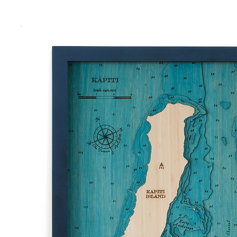
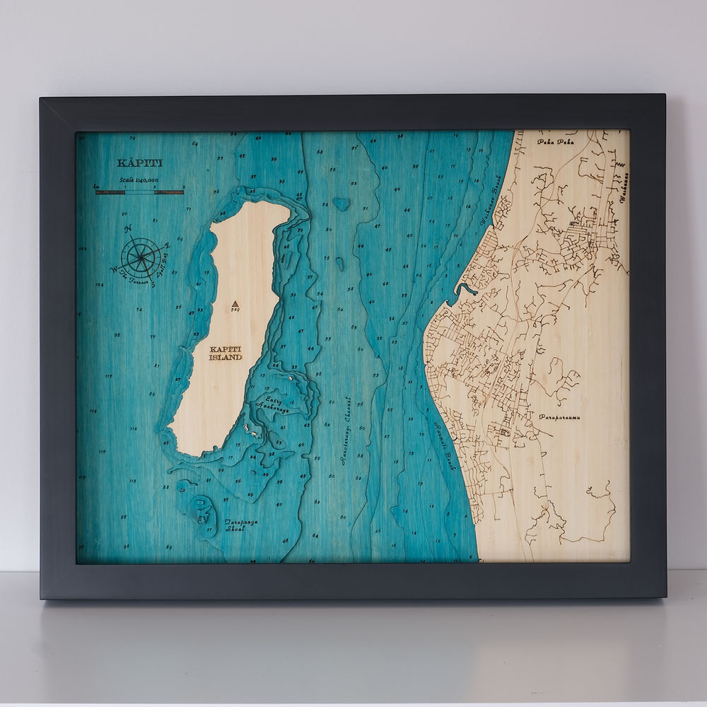
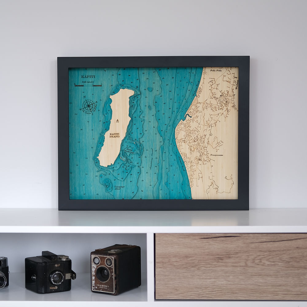
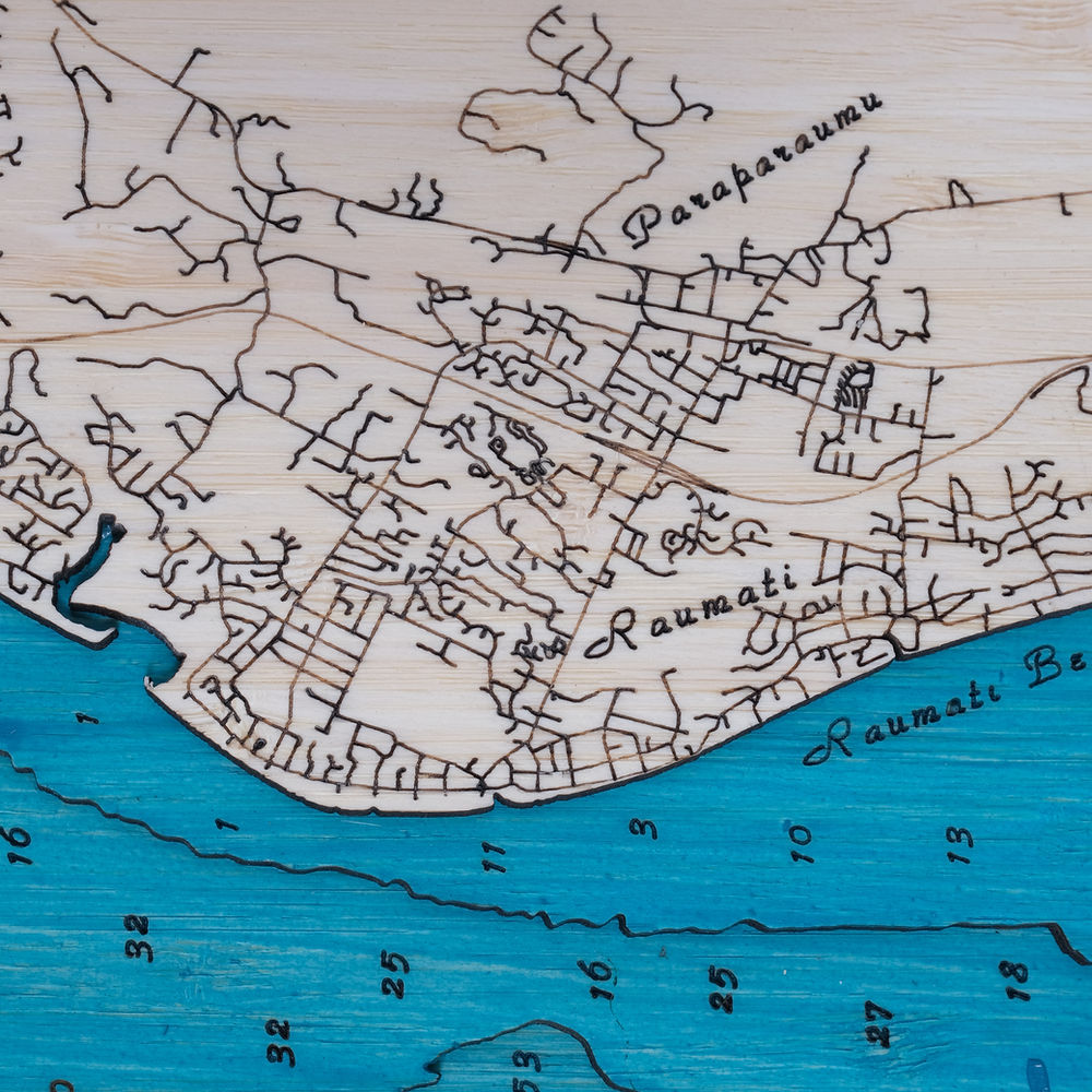
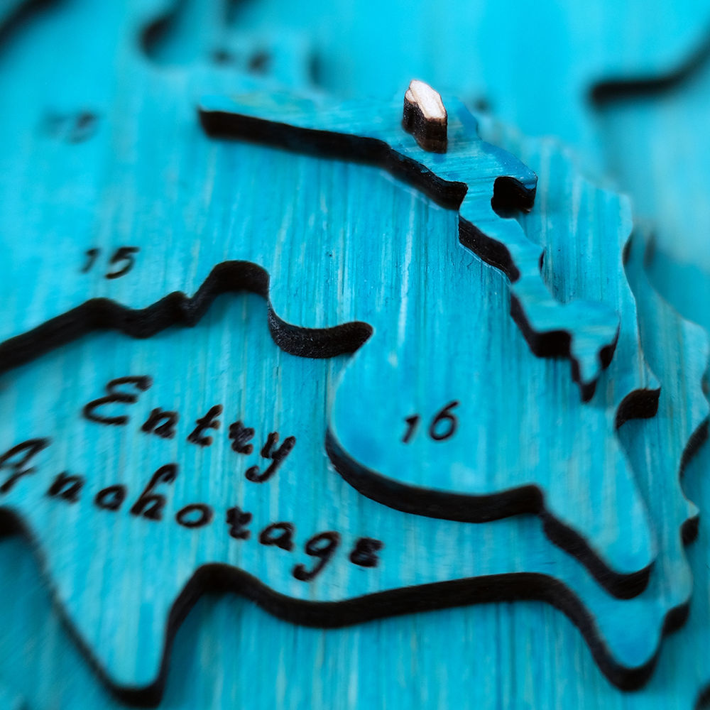
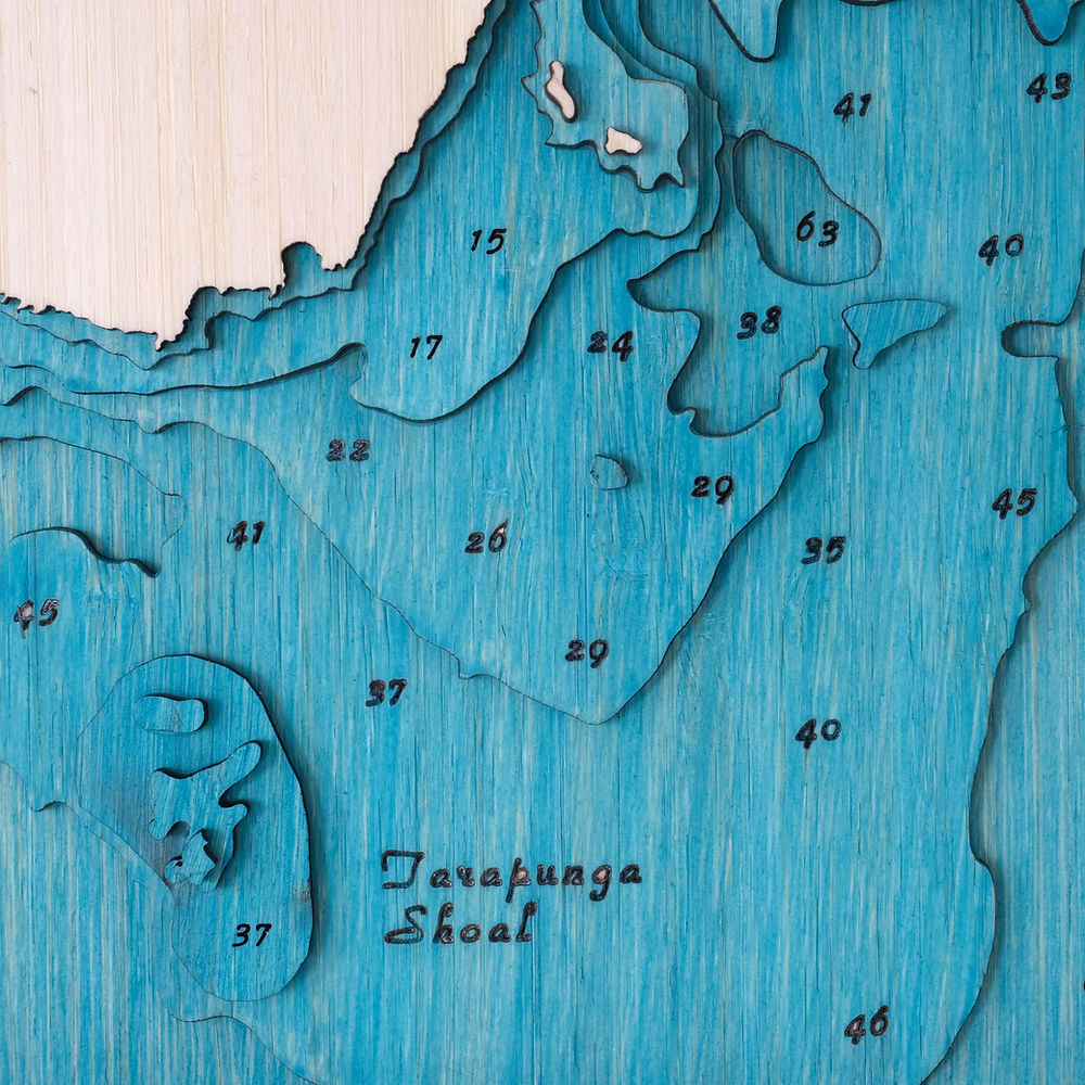
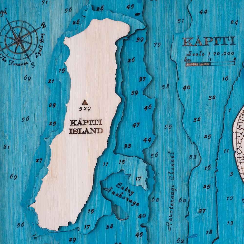
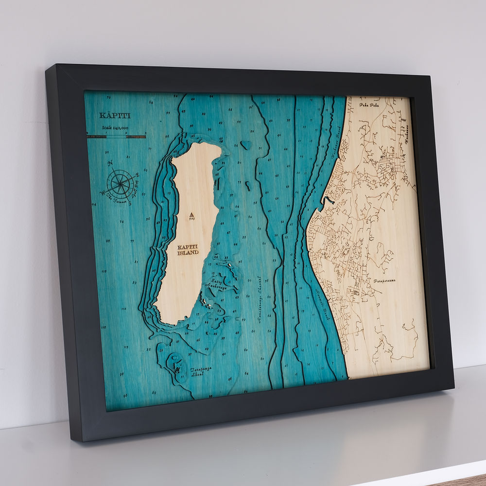
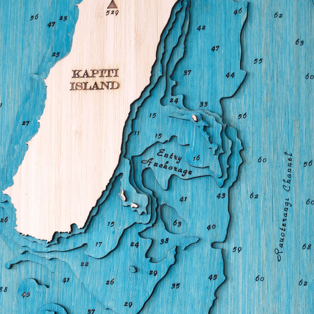
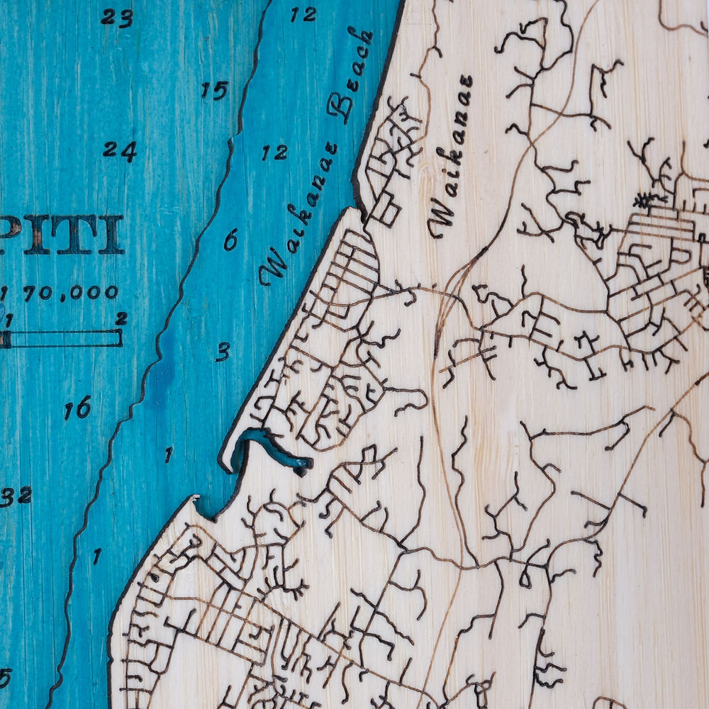
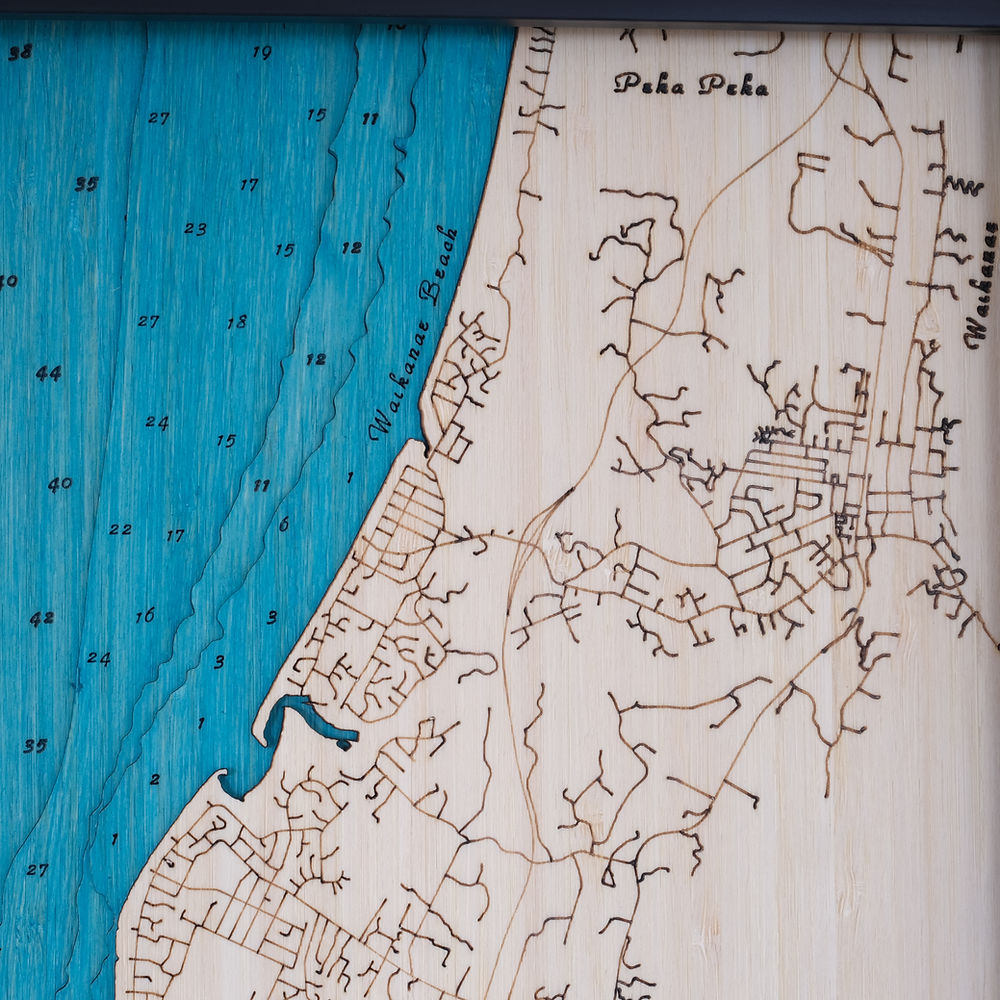
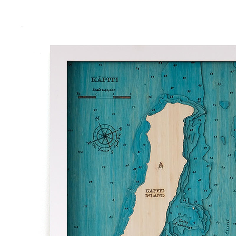
Our Kāpiti Island map features both the island sanctuary, and the coastal towns of Raumati, Paraparaumu and Waikanae Beach. The Tarapunga reef will be a familiar feature to any local anglers, as will the 50m deep Rauoterangi Channel. All the roads are marked on the mainland, including the new Kāpiti Expressway.
Choose from black or white frame.
Please note that we make each eco-friendly artwork to order. Due to the handcrafted nature of our art works and the natural materials used, each map varies slightly and the image shown is indicative only.
Layers: 6 layers
Outside Dimensions: 520mm wide, 420mm high, 40mm deep
Weight: approx. 7kg
Share
-
Details
All of our maps are made from layers of sustainable bamboo ply and framed in FSC pine frames. Our art maps are entirely handmade by us in our Wairarapa workshop. We have worked hard to make a beautiful and sustainable artwork for you. Due to the handmade nature and natural materials used no two maps are the same and will vary slightly to the image shown. Read more about how your map is made here.
Each map comes in a presentation box and includes a hanging kit, and mounting holes are pre-drilled into the frame for easy fitting.
-
Shipping
Free courier delivery to anywhere in New Zealand. Orders of small maps generally take 1 - 2 weeks once payment has cleared. Please let us know if you need your map for a particular date and we will do our best to accomodate you. See our shipping policy for full shipping information.


